Day 15
From the Toftemo campground, I hiked directly to Dovre’s single grocery store. I shopped for a 4-day resupply, my longest so far on this trail. The store had sales on all the GF items that I wanted plus decent prices for the remaining items. I did a small amount of repackaging and eliminating boxes, then I began hiking. At the edge of the city, I saw a sign and next to it was a small pool of water with flow from a pipe, a St. Olav’s Spring. It was from the original pilgrim days, though the first such source that I’d seen on the route. The path travelled roads to Budsjord, where the King’s Road began at a bridge built in 2020. It was on original stone foundations from the 1700s with a design intended to match that period.
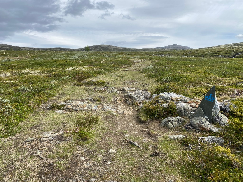
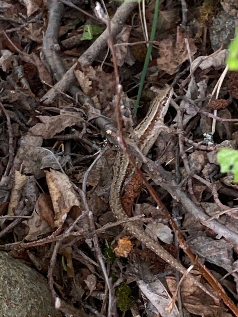
The King’s Road was marked by blue crowns alternated with the typical red St. Olav’s Way symbol. Mid-way up the steepest portion of the climb, I heard a faint rustling in the brush. While it could have been a rodent, I had a hunch that it wasn’t and gently prodded the vegetation with the tip of my trekking pole. A lizard scurried to a nearby bush! I got one picture and followed it trying to get a better one. I’d likely have caught it if I took my pack off earlier. Still, I was very excited and felt like a real herper! I identified it as a Nordfirfisle, Northern Lizard. It’s a very interesting lizard. It lays live young – unusual for a reptile – and can freeze solid for a couple months, thaw, and resume activity.
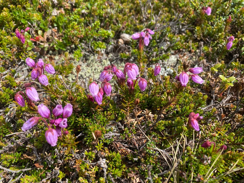
Overall the climb was more gradual than I expected from the guide book. The grazing sheep, usually a mom with twin babies, liked to run away along the trail, then bleat in alarm when I followed them. There was cascading water and a heath with bell-like pink blossoms that Seek identified as Blue Mountain-heath. At the top of the climb, I stopped for lunch and admired the nearby peak Hardbakken. A pilgrim walked up, the first I’d seen in days! Andrea was from Belgium, hiking with two other women, one from Belgium and one from the Netherlands. She said that the three of them met trekking in Nepal. They had started in Dovre and were headed to Trondheim, with their luggage delivered from one lodging to the next. She kept asking if I had this or that piece of gear and wondering that it all fit in my pack.
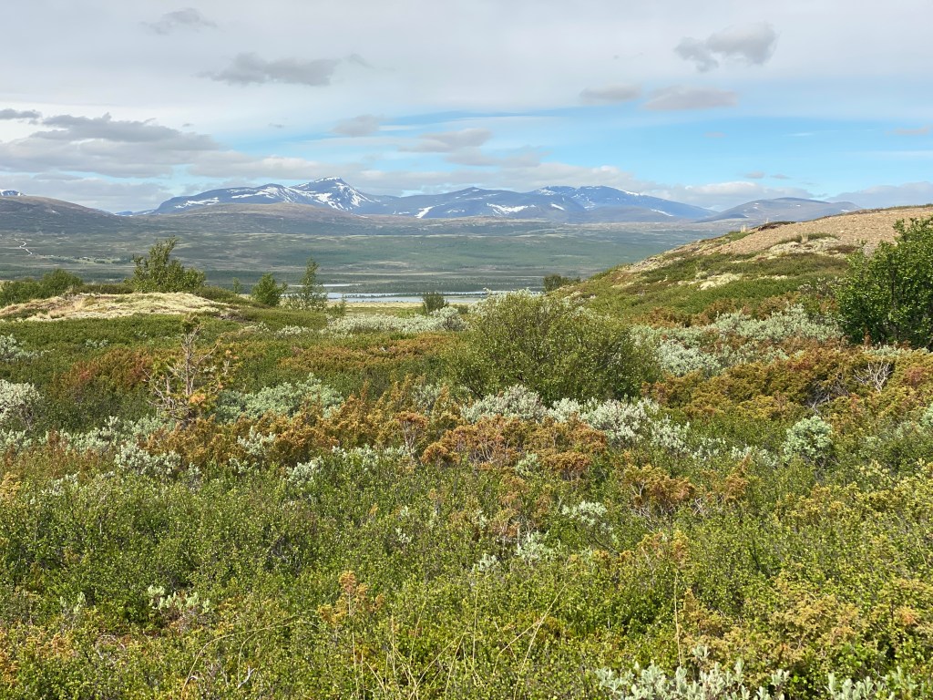
About 3 pm, I reached the turnoff to Fokstugu, a hostel. North of it was the nature reserve Fokstumyra, a marshy area that was home to over 100 bird species. I debated visiting it, then decided I’d want binoculars and my friends Mel & Adam to make the most of such an experience. Besides, the dirt lot was full of RVs and I was enjoying the solitude of an actual wilderness. Henceforth, I continued on in silence, listening and watching for any sign of a moose, reindeer, wolverine, etc. None showed themselves, instead I admired the beautiful terrain, crossed a couple temporary metal bridges and a steep snow patch, and identified the profuse white ground plant as Star-tipped Reindeer Lichen.
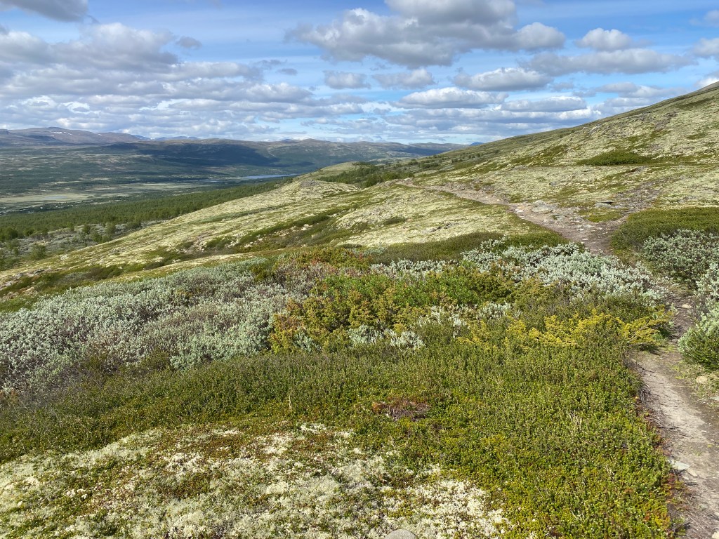
Around 7 pm, I hiked past a series of small marshes and ponds then set up my tent on tall grass amongst trees. I decided that reindeer and moose would be cool, however I really wanted to see a musk ox. The latter were practically guaranteed in Dovrefjell-Sunndalsfjella Nasjonalpark, especially on a tour due to local guides knowing the best spots. From my tent, I went online and booked a tour, technology can be marvelous!
Day 16
Early morning found me hiking along the shore of lake Avsjøen and hoping to spot a moose. After all, they enjoy aquatic terrain and pond grasses. I had no luck. The lake’s outlet was a strongly flowing river that the path paralleled for several kilometers. Thanks to trailside signs, I learned that the Dovrefjell plateau had the most extensive mountain flora in northern Europe and saw an ancient hunter’s blind, made of stones. In Hjerkinn, I left the pilgrim path and crossed the E6 to meet my safari group. I’d covered nine miles by 9:30 am. I was also about to embark on my first off-path adventure!
Our guide was a guy who looked to be in his early 20’s, named Tomás. He was passionate about the outdoors and had summited Snøhetta, the highest peak in the area. When he heard that I was hiking the pilgrim path, he asked what I thought of Budsjord, which is where he grew up. The rest of my group consisted of three Germans, a French couple, and a Dutch couple with a dog named Snow.
The latter were talkative; I learned that they took the ferry from Holland and had been exploring for about a week. They’d also been to Colorado and several National Parks in Utah. The woman told me they won’t be visiting again until we have a new president, though apparently Holland has its own anti-immigrant sentiment due to a housing shortage.
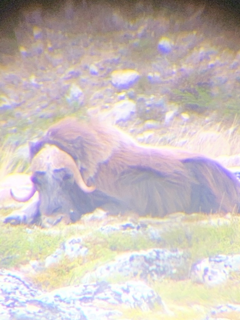
We hiked about five kilometers before we struck gold. For a couple hours, we watched a musk ox group: one bull, three cows, and two calves. At first, the adults were lying around and we couldn’t see the young ones. Then they got up to graze and slowly moved toward the road, leaving the bull behind. Tomás had a powerful scope that he mounted on a tripod and through it we could see details like the shaggy coats, the bull’s larger tusks, and the calves’ white legs. Tomás had a handy trick of taking pictures through the scope. For a time, the family group stood in full view on the road. Eventually they went further into wilderness so we migrated to the road and chatted with another tour group. Then the bull approached and grazed near the road; we got to see him up close!
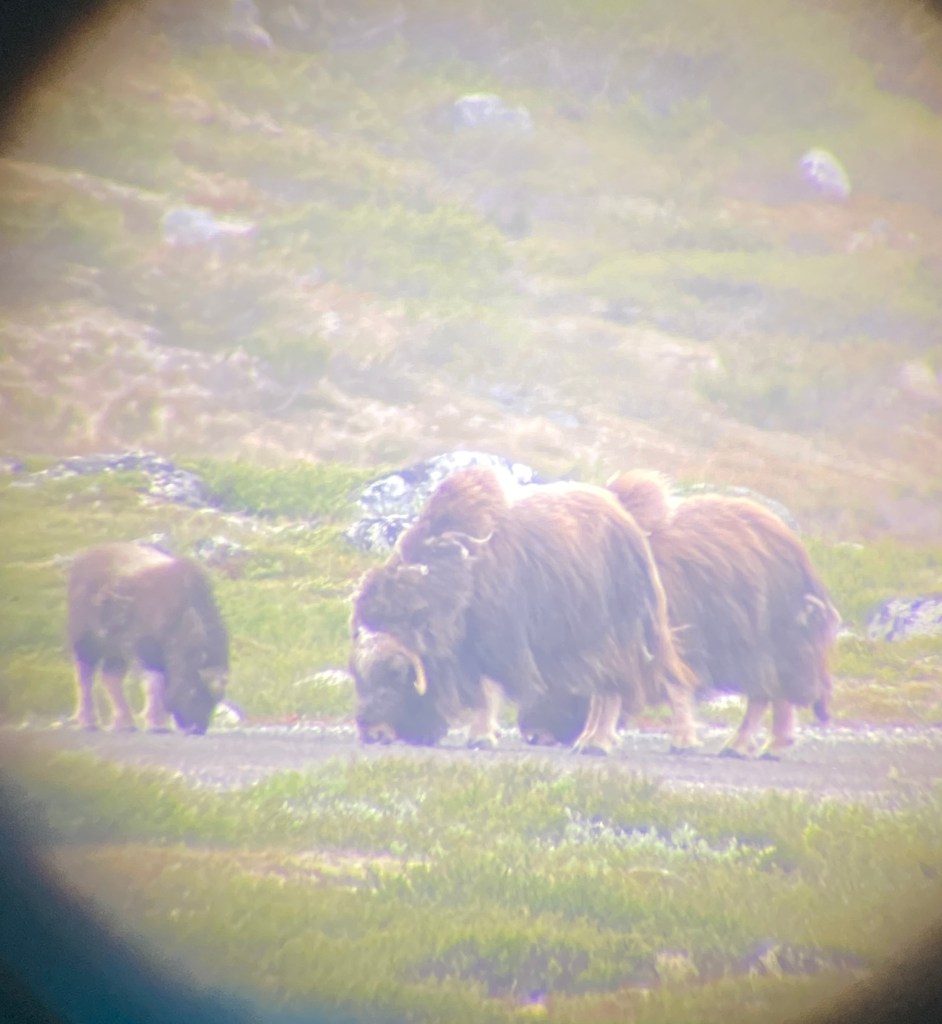
I was happy that I joined a musk ox safari since Tomás knew where to look for the animals and imparted interesting facts. For instance, their thick fur keeps them warm until minus 60 celsius, then they need to move or eat to be comfortable. Also, Musk Ox are not native to Norway, they were reintroduced using stock from Greenland. The Dovre herd is kept at 200 members; if the population grows larger, rangers fell the excess. The reasoning is they don’t want the herd to spread past their National Park grazing grounds. However, a dozen members somehow made it to Sweden. Sweden has allowed the group to stay and even borrowed a bull from the Dovrefjell group to help with an inbreeding issue.
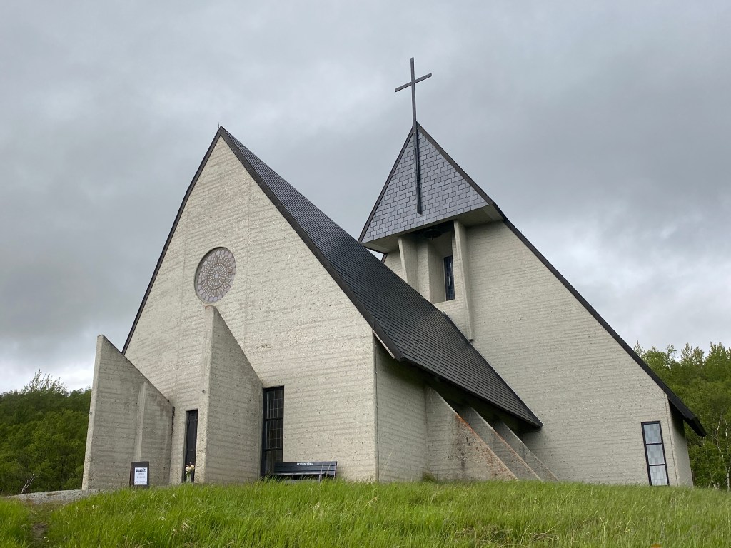
Weather-wise, it was an overcast, windy, off & on light rain day. I got cold standing around looking at musk ox. The hike back to our meeting spot partially warmed me, yet I yearned for a warm beverage. A 1.4 km hike brought me to Eystein Church, which doubled as Dovrefjell’s pilgrim center. The church had a sloping silhouette inspired by mount Snøhetta. Inside I drank hot tea and chatted with a couple church ladies. I’d done ~25 km and didn’t feel like hiking further. The nice ladies invited me to camp right outside the church in a nook of the walls! I had flat ground, partial wind protection, and most importantly, bathroom access. They also filled my pot with hot water, which I happily sipped in my tent. A bit later, I was journaling and heard a voice. It was a Swiss lady, sleeping in a camper van parked at the back of the church. She gave me a Swiss Biberli and invited me to drop by for a hot beverage in the morning. Trail magic!
Day 17
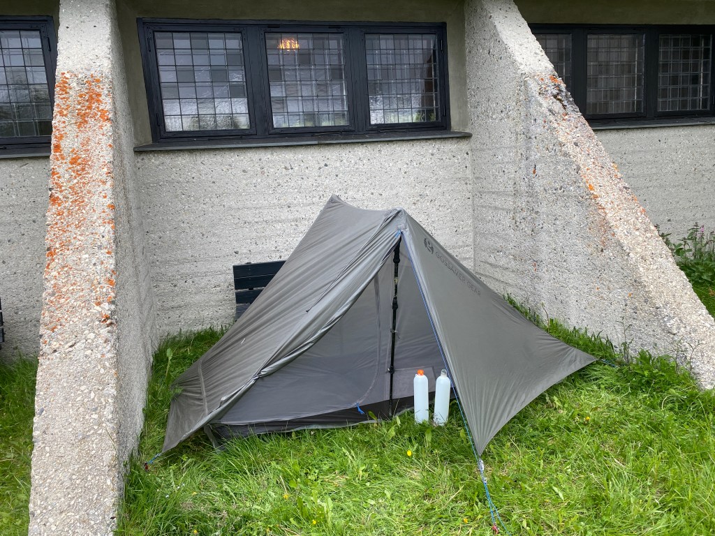
It rained heavily overnight and my tent stayed dry inside. Upon rising, I heated a small pot of water and made a cappuccino. A half hour later, I visited the Swiss couple’s camper van. Anita boiled a big pot of water and scrambled an egg for me. I fetched a couple GF bread slices and joined her and Adrian at their table. The elderly couple told me about their travels in Sweden and Norway; I showed them my musk ox pictures. It was fun sharing a meal.
From Eystein Church, the pilgrim path angled upward and rejoined the King’s Road, which went straight up and over Mount Hjerkinnshøe, passing to the east of the summit. It was an easy climb and rather desolate up top. About two thirds down the descent, the clouds broke and the sun shone consistently. I didn’t know how long it would last so I pulled out my tent and dried it thoroughly. The trail dropped to the E6, then climbed once again. I encountered more people than I’d seen the entire trail and an unfamiliar trail marker alternated with the pilgrim path posts. As I began to descend, reindeer lichen grew profusely, improving the views with its brilliance. Near the bottom, a sign informed me that I was in Dovrefjell-Sunndalsfjella Nasjonalpark, on the Musk Ox trail. The trail traffic died off after Kongsvold.
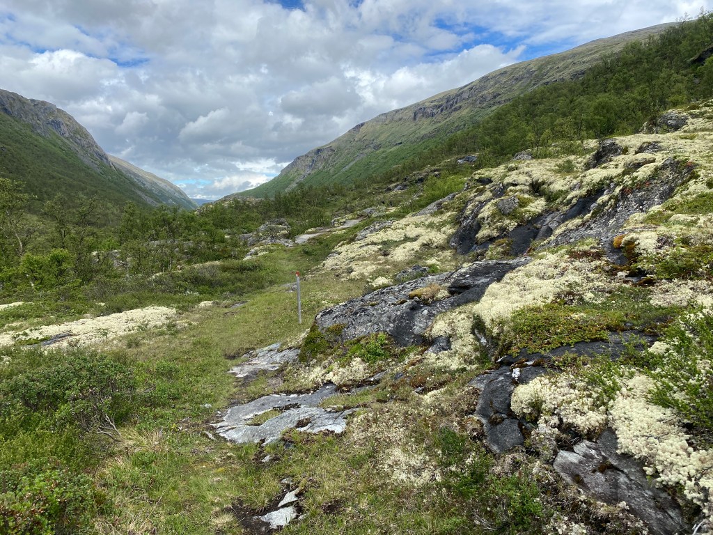
I found the next section of trail superbly scenic. The path made its way up a valley at the bottom of which flowed the river Driva. It was up and down terrain, lushly green. The trail curved past the base of a perhaps 100 ft. fall while a bit further on a long cascade fell from a high mountain plateau and dropped all the way to the river, passing under the E6. Its terminus was adjacent to a rest area and the beginning of Vårstigen, the spring trail, a path that was used when melting snow made travel through the valley impassible. Now it is the all season pilgrim path to Trondheim as the E6 goes through the valley. Vårstigen was daunting to the original pilgrims due to falling stones and slippery surfaces. Even I found it steep, which was delightful!
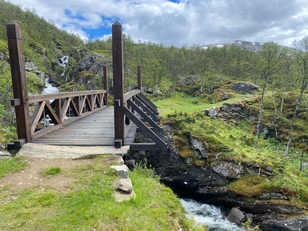
The steepness of Vårstigen passed quickly and became a rolling forest path high above the river valley. At its end, I crossed a recently constructed bridge, made to look historical, over the river Vårstigåa, and began a gentle ascent to a high mountain plateau. Above the tree line, I passed one lonely farm, otherwise it was all wilderness and occasional grazing sheep. I had yet to see a wild reindeer, though apparently they were very shy with superb hearing. The ascent ended at the trail’s high point, 1314 meters above sea level. I camped a kilometer later, my view a sweeping expanse of plateau, mountains, and clouds. It was my first campsite without cell service.

Day 18
I woke to a heavily condensed tent, though I was cozy and dry inside. Being careful not to touch the walls, I arose and heated water for a cappuccino. All around me, sheep bells tinkled and there was an occasional “baa”. I was soon underway with 25 km of downhill terrain ahead. The sky was overcast and it was chilly, thus when a sunbeam lit the road, I stopped briefly to stand in its warmth. A quick five kilometers brought me to Ryphusan, a small collection of cabins, one of which housed pilgrims. Indeed, I saw a couple people standing outside a red building with a pilgrim drawn on its side.
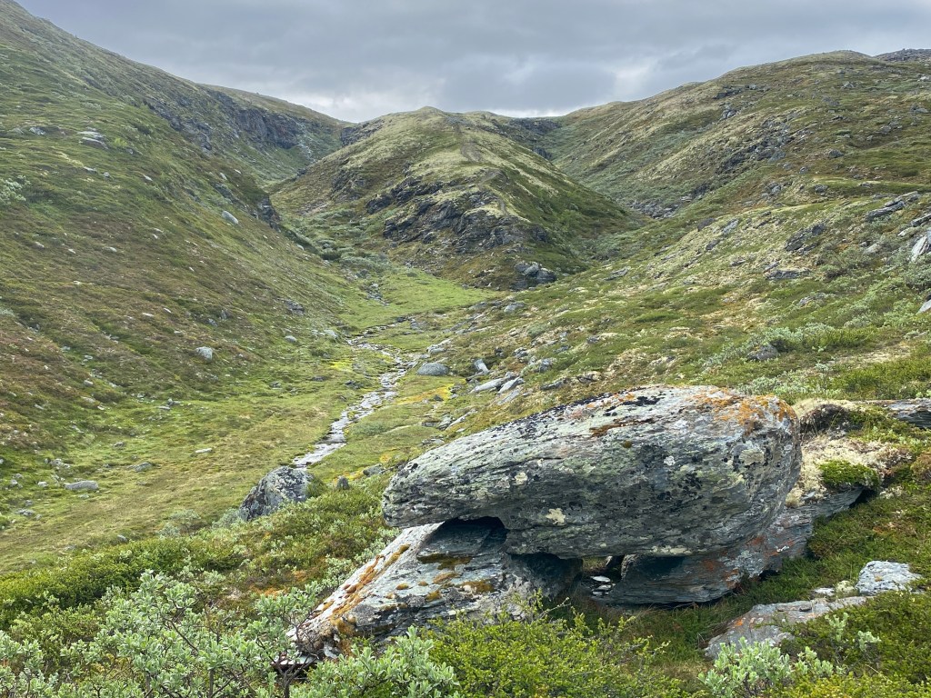
For eight kilometers, a gravel road paralleled the river Driva. It was pleasant hiking with green hillsides, occasional streams that cascaded into the river through rocky clefts, and grazing sheep. I passed a lonely, squat shepherd’s cabin and a natural spring that a sign proclaimed did not need filtering. The path crossed the river and became a trail for a short time. I welcomed the brief uphill and the view down into the river. A short time after the path rejoined the road, I arrived at St. Michael’s Chapel. The outside was a plain, rectangular building, however the interior was unique. From the entrance, the floor descended in stone benches with a basket of mats for seating. The benches faced a giant, floor-to-ceiling window through which I saw trees and mountains. A cross made of blue glass was cleverly suspended so that it appeared to float over the view. It felt more like being outside than in a church, which is why I liked it so much.
At a picnic table beside the chapel, I ate lunch while I spread my tent to dry and aired my sleeping bag. Two pilgrims passed by and three stopped to inspect the chapel. One was Andrea, whom I met near Hardbakken’s summit. She was in a hurry to meet her friends and catch a taxi. Then a guy with a guitar arrived and joined me at the table. His name was Tim, from Texas, the first American that I’d met on trail. We chatted for a while. Basically, God told him, through his dreams, to come to Norway. He’d had past success – meeting his wife, lucrative careers – following his dreams so he listened and undertook this pilgrimage. New to long distance hiking, Tim started from Oslo a week prior to me. He had an enjoyable, exuberant energy.
Civilization reemerged as the path traveled through barn yards and along field edges. I passed the occasional home and hurried across the highway. A gravel road took me past Vang gravfelt, an area with more than 750 burial mounds from the Viking Age. At Oppdal Church, I got water and encircled the building until I found a small, metal box with the church’s stamp. Then I headed into Oppdal, a mid-sized town, to get groceries. That errand accomplished, I took a multi-use path out of town. Near the bottom of a ski hill, the path transitioned to a grassy trail. I planned to sleep inside Guriberget gapahuk, yet when I arrived I found sheep poop all over


Leave a Reply